Free return under 100 days
Free shipping on £150
Expert Help

IGN

(344)
Sort by
Every hiker knows: a good IGN map in your backpack is essential. Perfect for accompanying you on all your journeys, IGN maps ensure you always stay on the right path, no matter what happens. Explore our selection of maps and guides for your favourite mountain ranges and GR trails!
344 Results
Filter
Sort by
Chemin de Stevenson
IGNChemin de Stevenson£17,90
Les Trois Vallées.Modane.Pn De La Vanoise
IGNLes Trois Vallées.Modane.Pn De La Vanoise£11,95
Plougastel-Daoulas. Le Faou. Pnr D'Armorique
IGNPlougastel-Daoulas. Le Faou. Pnr D'Armorique£12,90
Saint-Jean-De-Luz - Hendaye
IGNSaint-Jean-De-Luz - Hendaye£11,95
Massif du Sancy
IGNMassif du Sancy£11,95
Genève.Annemasse.Le Léman
IGNGenève.Annemasse.Le Léman£11,95
Diois / Devoluy / Hautevallée De La Drome
IGNDiois / Devoluy / Hautevallée De La Drome£8,95
Villefranche-Sur-Saone
IGNVillefranche-Sur-Saone£12,90
Traversée De La Corse Gr20
IGNTraversée De La Corse Gr20£8,90
Meije.Pelvoux.Pn Des Ecrins
IGNMeije.Pelvoux.Pn Des Ecrins£12,90
Mercantour
IGNMercantour£8,95
Morlaix.Plestin-Les-Grèves.Carantec
IGNMorlaix.Plestin-Les-Grèves.Carantec£12,90
Salon-De-Provence / Miramas
IGNSalon-De-Provence / Miramas£12,90
Clermont / Creil / Forêt De Hez / Froidmont
IGNClermont / Creil / Forêt De Hez / Froidmont£11,95
Sarlat-La-Canéda Souillac / Vallée De La Dordogne
IGNSarlat-La-Canéda Souillac / Vallée De La Dordogne£12,90
Nasbinals / Monts D'Aubrac
IGNNasbinals / Monts D'Aubrac£11,95
Clermont L'Hérault
IGNClermont L'Hérault£11,95
Massif de la Chartreuse Nord
IGNMassif de la Chartreuse Nord£12,90
Forêt D'Iraty - Pic D'Orhy
IGNForêt D'Iraty - Pic D'Orhy£11,95
Golfe-Du-Morbihan / Ile-De-Groix / Belle-Ile / Presqu'Île-De-Quiberon
IGNGolfe-Du-Morbihan / Ile-De-Groix / Belle-Ile / Presqu'Île-De-Quiberon£8,95
Rouen
IGNRouen£12,90
Le Donon.Obernai.Mont-Sainte-Odile.Vallée De La Bruche
IGNLe Donon.Obernai.Mont-Sainte-Odile.Vallée De La Bruche£12,90
Monts Du Cantal / Pnr Des Volcans D'Auvergne
IGNMonts Du Cantal / Pnr Des Volcans D'Auvergne£12,90
Saint-Tropez.Sainte-Maxime.Massif Des Maures
IGNSaint-Tropez.Sainte-Maxime.Massif Des Maures£12,90
Combe Laval - Forêt De Lente / Pnr Du Vercors
IGNCombe Laval - Forêt De Lente / Pnr Du Vercors£12,90
Serres / Veynes / Haut Buëch / Bochaine
IGNSerres / Veynes / Haut Buëch / Bochaine£12,90
Le Tréport.St-Valery-Sur-Somme.Baie De Somme
IGNLe Tréport.St-Valery-Sur-Somme.Baie De Somme£12,90
Le Lavandou / Pn De Port Cros / Corniche Des Maures
IGNLe Lavandou / Pn De Port Cros / Corniche Des Maures£12,90
Audierne / Pointe Du Raz
IGNAudierne / Pointe Du Raz£17,90
Fréjus / Saint-Raphaël
IGNFréjus / Saint-Raphaël£17,90
Erquy / Val-André / Lamballe
IGNErquy / Val-André / Lamballe£17,90
Camaret / Presqu'Ile De Crozon
IGNCamaret / Presqu'Ile De Crozon£17,90
Le Havre / Étretat / Pnr Des Boucles De La Seine Normande
IGNLe Havre / Étretat / Pnr Des Boucles De La Seine Normande£17,90
Verdon / Lac-De-Ste-Croix / Plateau-De-Valensole
IGNVerdon / Lac-De-Ste-Croix / Plateau-De-Valensole£8,95
La Bastide De Serou / Massat.Pic Des Trois Seigneurs.Pnr Des Pyrénées-Ariégeoises
IGNLa Bastide De Serou / Massat.Pic Des Trois Seigneurs.Pnr Des Pyrénées-Ariégeoises£17,90
Lac d'Annecy
IGNLac d'Annecy£17,90
Massif Du Vercors
IGNMassif Du Vercors£8,90
Vallée De La Vésubie / Pn Du Mercantour
IGNVallée De La Vésubie / Pn Du Mercantour£17,90
Font - Romeu. Capcir
IGNFont - Romeu. Capcir£17,90
Chaine Des Aravis / Massif Des Bauges
IGNChaine Des Aravis / Massif Des Bauges£8,90
Saint-Gervais-Les-Bains / Massif du Mont Blanc
IGNSaint-Gervais-Les-Bains / Massif du Mont Blanc£17,90
Aubagne / La Ciotat / Massif De La Sainte Baume
IGNAubagne / La Ciotat / Massif De La Sainte Baume£17,90
Massif Du Canigou
IGNMassif Du Canigou£17,90
Vallée De La Roya / Vallée Des Merveilles / Pn Du Mercantour
IGNVallée De La Roya / Vallée Des Merveilles / Pn Du Mercantour£17,90
Castellane / Lac De Castillon / Pnr Du Verdon
IGNCastellane / Lac De Castillon / Pnr Du Verdon£17,90
Villard-De-Lans / Mont Aiguille / PNR du Vercors
IGNVillard-De-Lans / Mont Aiguille / PNR du Vercors£17,90
Bagnères De Bigorre
IGNBagnères De Bigorre£17,90
Bourg-Madame.Col De Puymorens.Pic Carlit
IGNBourg-Madame.Col De Puymorens.Pic Carlit£17,90
Montagne Sainte-Victoire / Aix En Provence / Gardanne / Trets
IGNMontagne Sainte-Victoire / Aix En Provence / Gardanne / Trets£17,90
Saint-Malo / Dinard / Dinan
IGNSaint-Malo / Dinard / Dinan£17,90
Basse Terre - Soufrière - Les Saintes
IGNBasse Terre - Soufrière - Les Saintes£17,90
Bourg-Madame.Mont-Louis.Col De La Perche
IGNBourg-Madame.Mont-Louis.Col De La Perche£17,90
Belle-Île.Îles D'Houat Et D'Hoëdic
IGNBelle-Île.Îles D'Houat Et D'Hoëdic£11,95
Chemins vers Saint-Jacques De Compostelle
IGNChemins vers Saint-Jacques De Compostelle£8,90
Oisans Champsaur
IGNOisans Champsaur£8,95
Pnr Massif Des Bauges
IGNPnr Massif Des Bauges£8,95
St Jacques. Le Puy / Moissac
IGNSt Jacques. Le Puy / Moissac£8,95
Dieulefit / St-Nazaire-Le-Désert / Forêt De Saou
IGNDieulefit / St-Nazaire-Le-Désert / Forêt De Saou£11,95
Ile De Mayotte Mamoudzou
IGNIle De Mayotte Mamoudzou£11,95
Haute Tinée 2.Isola 2000.Pn Du Mercantour
IGNHaute Tinée 2.Isola 2000.Pn Du Mercantour£11,95

IGN Maps for Your Outdoor Activities

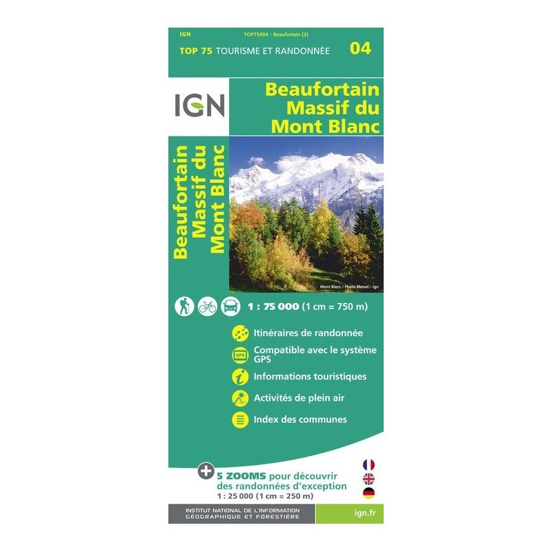
Since 1940, the National Institute of Geographic and Forest Information has been responsible for the production, maintenance, and dissemination of reference geographic information in France. This service, abbreviated as IGN, offers several major types of topographic maps, available on Hardloop. Essential for all adventurers preparing for a hike, they allow you to discover the environment in which you wish to explore and help you navigate once you're there! There are a multitude of map models with different scales: national map, regional map, departmental, Top 100, Top 75, Top 25… Each model has its own specific uses and characteristics. To understand how they work, just look at the scale provided. When a map offers a scale of 1:25,000, it means that one centimetre on the map equals 250 metres in reality. A scale of 1:100,000 means that one centimetre on paper represents 1 kilometre on the ground. A Top 75 map represents a scale of 1 cm for 750 metres. Thus, the smaller the scale, the more precise the map! Essential for traversing the most famous roads and paths in France or Europe, IGN maps are the reference for navigating during your favourite outdoor activities.

IGN: Maps for Hiking

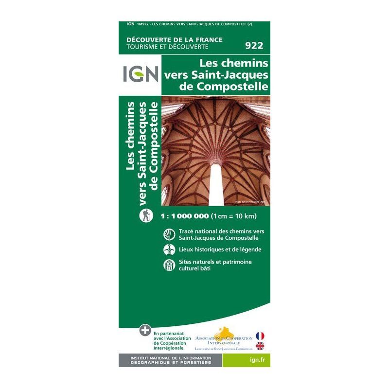
Ideal for preparing or navigating during an outdoor activity, IGN maps are particularly used for hiking. Indeed, what could be more frustrating than losing your way once you're there? To avoid this situation, especially for organised hikes or group walks, preparing your long-distance hiking route in advance is crucial! To discover the most beautiful regions of France, venture into the most beautiful mountain ranges, or traverse Grande Randonnée paths (the famous GR), IGN guides are both precise and well-detailed according to points of interest. For example, the map of the Paths to Saint-Jacques de Compostelle allows thousands of pilgrims each year to prepare and experience a unique adventure. It also highlights historical sites, natural areas, and heritage locations, all for a unique journey. In another style, the IGN Chamonix / Mont-Blanc Massif map focuses not on a GR but on a mountain range, thus offering greater precision. Perfect for discovering the area's riches, it details watercourses, hiking paths, refuges, and remarkable sites. But of course, IGN maps are not exclusively focused on hiking. The map of Greenways and Cycle Routes in France is an example. It allows you to quickly distinguish all the cycling routes across the French territory and the related land development.

Find the Entire Range of IGN Products on Hardloop.fr

At Hardloop, we are committed every day to providing nature enthusiasts with the best products for their mountain outings. And for there to be an outing, there must be preparation… which often involves a map! In this area, IGN is the absolute reference, perfect for preparing your adventures as well as discovering a Grande Randonnée trail. The brand holds a special place in our hearts and is prominently featured among the hiking and adventure equipment in our catalogue. Globally recognised for the quality of its maps, guides, and topographical resources, IGN will guide you through all your adventures, whether on high peaks or the flatlands. Don’t hesitate, choose your IGN maps on Hardloop and set off for beautiful adventures in the mountains! Do you have a question about the GR 34? Not sure how to join the GR 70? Our HardGuides will be delighted to recommend the right map for your next outing!